
Planet Labs Made Gulf Satellite Imagery Restrictions Indefinite After US Government Request, Cutting Off a Key Tool for Verifying Wartime Strikes
The same commercial chokepoint that now blacks out imagery over Iran and the Gulf is the one journalists and monitors have relied on to check Israeli military claims in Gaza.
Source: Middle East Eye · published August 28, 2026
The most recent commercially available satellite images of the Gulf date from 9 March. That is the practical result of a decision made by Planet Labs, the leading US satellite imagery provider, in the weeks after the United States and Israel struck Iran on 28 February and Tehran retaliated across the region.
According to reporting by Middle East Eye, Planet Labs first announced a four-day release delay on Gulf imagery one week after the strikes. Within days that delay stretched to 14 days and spread to cover most of the Middle East. By early April, following a request from the US government, the company made the restriction on high-resolution imagery of the region indefinite. Planet Labs has said the decision was made "in consultation with the government and external experts." On 1 July it lifted some restrictions, particularly over Iran, but most of the Gulf suspension remains in place.
The official justification is that the imagery could help an adversary target US troops or allied infrastructure. Open-source analysts told MEE they can accept a short delay on that basis but see no comparable rationale for an open-ended freeze, especially since Iran already operates its own Earth Observation satellites launched on Russian Soyuz rockets and, according to leaked Revolutionary Guard documents cited by MEE, draws on Chinese imagery for military intelligence. A Columbia Journalism Review investigation found "no evidence that Iranian forces have, in fact, used imagery from any US satellite vendor."
"The restrictions on US satellites are more about avoiding embarrassment or accountability than anything else," Tom Brown, an open-source investigative reporter, told MEE.
Jake Godin, a senior researcher at Bellingcat, said the restrictions "are just making it harder for news outlets and NGOs to assess and verify damage," warning of a degraded "information environment" that leaves room for misinformation to spread unchecked. Bill Greer, co-founder of the nonprofit satellite initiative Common Space, told MEE that "access to satellite imagery is gradually disappearing from public view," and that even imagery that remains available can be released selectively, staying "accurate, but will not show the entire story."
Greer traced the shift to two forces working together: regulatory pressure, since the US government can order providers to restrict release, and financial pressure, since Washington is also the industry's largest customer. "Many of these companies are publicly traded, putting pressure on them to grow at any cost," he said. Planet Labs' stock has fallen 15 percent over the past six months.
The stakes of that access were on display in the case cited by MEE of the US bombing of a school in Minab, Iran, where UNESCO called the strike, which killed 156 civilians including 120 schoolchildren, a "grave violation." The New York Times used satellite imagery to determine that a US Tomahawk missile most likely caused the explosion, work the Pentagon says its ongoing investigation has not resolved.
That is precisely the kind of independent check that becomes harder to run once a single US company, answerable to the US government, controls the release schedule. Journalists and rights monitors have used the same commercial imagery pipeline for years to document Israeli strikes and demolitions in Gaza and the West Bank, territory where Israel has long restricted independent press access on the ground. Analysts told MEE the growing gap between how much satellite imagery now exists worldwide, from roughly 60 countries with active Earth Observation programs, and how much of it the public can actually see is not shrinking. It is widening.
Sources & Documentation
Related Coverage
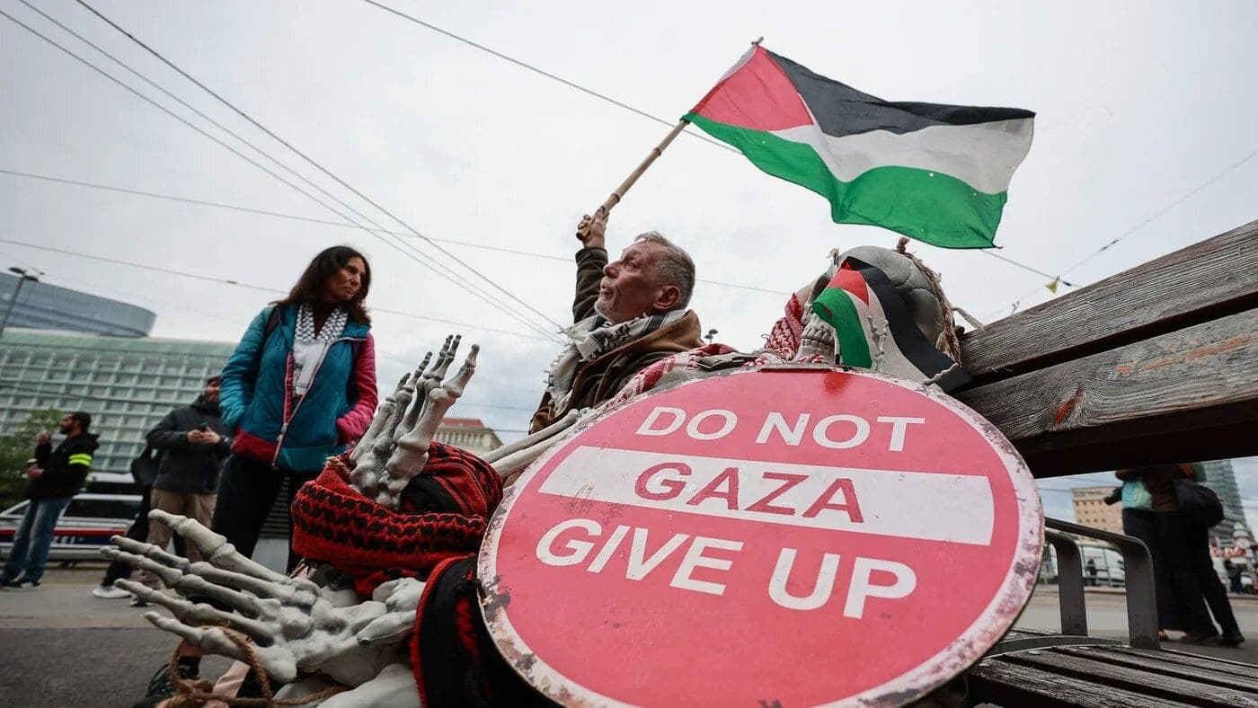
Austria Holds Gaza Now Founder Mustafa Ayyash in Pre-Trial Detention Under Anti-Terror Statute
Mustafa Ayyash, founder of Gaza news outlet Gaza Now, has been held in Austrian pre-trial detention since November 2025 under a terror statute critics say criminalizes Palestine journalism.

MEE Opinion Piece Traces Journalist Killings and Gaza Press Ban to What It Calls Israel's 'Information War'
An MEE opinion piece argues Israel's blanket ban on foreign press in Gaza and unpunished journalist killings form a documented pattern of information control.
Israel Paid a PR Firm to Build a Fake Think Tank That Feeds AI Chatbots Pro-Israel Talking Points
A think tank with no bylines and 100+ articles in a week was built by an Israeli-funded PR firm to manipulate AI chatbot answers on Israel and Gaza.