
Forensic Architecture Mapping Links Gaza Flood Deaths to Israeli Destruction and Displacement Patterns
Spatial analysis ties a deadly embankment collapse and a sewage-flooded camp to the systematic shrinking of habitable land in Gaza, the research group says.
Source: The New Arab · published November 11, 2026
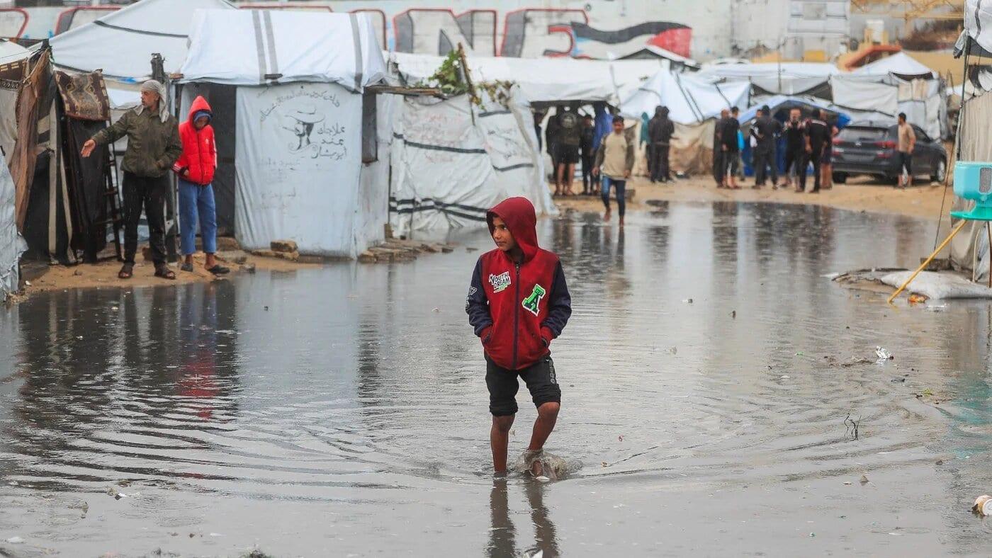
Four people, including three children, died when a saturated sand embankment collapsed onto their tents during torrential rain west of Deir al-Balah. The site was Al-Berka Reservoir, and the families sheltering beneath the embankment had no other option, according to Forensic Architecture, the research organization whose spatial analysis traces the collapse back to a broader pattern of Israeli-driven displacement across Gaza.
The group's mapping overlays building destruction, Israeli forced evacuation orders, military operations, and the shifting footprint of tent encampments. Together, Forensic Architecture says, the layers show not just lost homes but a reshaping of where Palestinians are permitted to live.
"What we see is the progressive destruction of the spaces in which Palestinians can live, and their concentration into an increasingly restricted part of Gaza," Nicola Banks, head of communications at Forensic Architecture, told The New Arab. "This is not simply a story of buildings being destroyed. It is a transformation of the geography of the entire territory."
A United Nations report from November 8 estimated that 65 percent of Gaza's population, roughly 1.4 million people, live in tents or makeshift shelters. The same UN report found more than 26,000 households have had shelters damaged since seasonal rains began, and at least 55 learning spaces serving about 55,000 children have flooded.
Two sites, one pattern
Banks pointed to Al-Berka as an example of families forced onto physically dangerous terrain because safer ground was unavailable. "Land that may be physically available for tents is not necessarily land that can sustain habitation," she said.
At Sheikh Radwan Lagoon, Forensic Architecture documented a different failure: damaged drainage networks allowed wastewater into the basin while compromised pumping systems could not handle the rainfall, sending stormwater mixed with sewage into surrounding displacement camps. "At Al-Berka, people are sheltering in dangerous terrain," Banks said. "At Sheikh Radwan, the infrastructure that should protect an urban population from flooding has been severely compromised."
Banks said Israeli restrictions on the entry of shelter materials and repair equipment have left displaced families with little means to protect themselves, and that the degradation of infrastructure predates and compounds the rains. "The rain does not create this catastrophe," she said. "It exposes the conditions in which people have been made to live."
Forensic Architecture's mapping notes that the restriction of habitable space has continued since the ceasefire took effect in October. The group says the "Yellow Line" dividing the territory places areas to its east under Israeli military control while pushing Palestinians west, and that military infrastructure along the line continues to expand even as deadly strikes and aid restrictions persist under the ceasefire framework.
Sources & Documentation
- Gaza floods expose deadly cost of destruction, displacement — The New ArabPrimary source, includes Forensic Architecture analysis and quotes from Nicola Banks
Related Coverage
Baby Dies of Exposure in Gaza Tent as 150,000 Tents Sit Warehoused Awaiting Israeli Approval
Six-month-old Ehab Hamad died of exposure in a flooded tent as 150,000 tents and winter supplies sit warehoused, blocked by Israeli 'dual-use' restrictions, UN and NGO officials say.

Over 1,100 Gaza Child Amputees Face Blocked Prosthetics, Stranded Wheelchairs, Closed Crossings
Euro-Med Monitor documents 1,134 child amputees in Gaza facing blocked prosthetics, stranded wheelchairs, and closed crossings preventing medical evacuation.
 Video
UN and CNN Found Gunfire Killed Dozens at Gaza Aid Convoy; Advocacy Group Says Death Toll Mostly From Stampede
A UN inquiry and CNN found gunfire killed dozens at a Gaza aid convoy in February 2024; a pro-Israel group disputes the toll, citing a stampede.